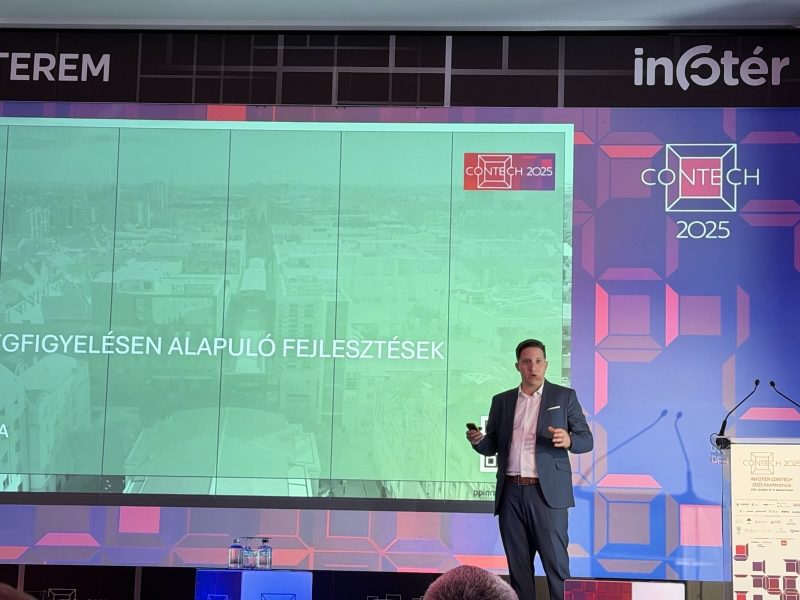
Béla Szivák, Head of Digital Innovations at Paulinyi&Partners, also delivered a presentation at the INFOTÉR ConTech 2025 conference. He emphasized the architectural and urban planning applications of space data and artificial intelligence, illustrating how data can serve as the foundation for sustainable urban development.
Béla showcased how our group leverages space technology and machine learning to provide data-driven decision support for urban projects. For example, the Heatscape Resolve system utilizes data from Sentinel-2 satellites to model urban heat island effects at resolutions up to 300 meters. This enables analysis of environmental conditions in individual plots or districts, as well as forecasting microclimate changes that could influence energy consumption and comfort levels in city areas through 2030.
Our Urban Energy Scan (UES) system pushes the boundaries of urban-scale energy analysis. By integrating satellite earth observation data into BIM and GIS environments, and employing AI models along with calibrated regressions, it accurately determines all parameters affecting energy use.
The dashboards and predictive simulations generated by the system offer real-time insights into energy consumption, facilitating optimal placement of green infrastructure and formulation of urban energy strategies. For instance, it can model how a district's energy demand might shift if built-up areas expand or green spaces decrease.
Data-driven design does not replace human creativity; rather, it elevates it to new levels. In this way, cities become measurable, predictable, and optimizable systems that simultaneously serve the economy, the environment, and human well-being. Earth observation–based developments are not just promises for the future, but opportunities available today. As our CEO, Dr. Gergely Paulinyi, emphasized in his earlier presentation: "We architects must think 10 years ahead, be 10 years ahead of our time, and set the pace a decade in advance."
Béla Szivák concluded, "The cities of the future are already visible in satellite data today—and our task is to responsibly integrate this data into our decision-making."