Satellite data to fight urban heat
The urban heat island effect is becoming an increasingly pressing challenge across the world: temperatures in densely built-up areas can exceed those of surrounding green zones by as much as 5–10 degrees Celsius, posing serious public health and urban management risks during heatwaves. Data-driven approaches grounded in satellite Earth observation are emerging as a response to this gap.
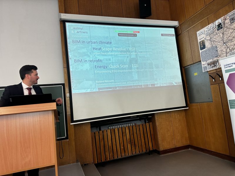
On 15 April 2026, the international BIM4GOV Interreg Europe programme held its conference at the Budapest University of Technology and Economics, where Roland Németh, Automation Development Lead at Paulinyi & Partners Innovations, represented our group. His presentation was delivered as part of the session dedicated to BIM applications in the private sector, alongside distinguished Hungarian and international speakers.
HeatScape Resolve as a response to the heat island effect
Roland's presentation demonstrated how the HeatScape Resolve system supports the mapping of urban heat island effects and informs climate-conscious planning decisions. The solution leverages satellite Earth observation data to enable well-founded interventions in urban microclimate management at the district scale, grounded in measurable data - and integrated from the earliest stages of the design process, where such decisions carry the greatest impact.
HeatScape Resolve is the result of a research and development collaboration with the European Space Agency (ESA). The system provides municipalities and real estate developers alike with a comprehensive, data-driven tool - one that enables decisions on mitigating the heat island effect to be made not merely reactively, but in a forward-looking, simulation-based framework.
For our group, professional events such as this one represent more than an opportunity to present our work. They offer meaningful confirmation that our approach - at the intersection of space technology and architecture - is generating genuine and growing interest across the industry.